Final Underway Data (Present to 2004)
Final Underway Data (Present to 2004)
Continuously-collected surface oceanographic and meteorological data.
Final 1-Minute Data (csv/xls), Processing Notes (pdf) & Cruise Path Figures (pdf/png)
- Overview:
- Available Data May Include:
During CalCOFI cruises, surface oceanographic and meteorological data are collected continuously while transiting between stations. Oceanographic data are collected by pumping surface seawater through a Thermosalinograph (TSG) to measure temperature and conductivity in real-time along the ship’s path. The most common TSGs used by CalCOFI ships are SBE 45 MicroTSG and SBE 21 SeaCAT.
Meteorological and ship data are collected using the shipboard meteorological (MET) system on SIO vessels or the shipboard computer system (SCS) on NOAA vessels. On SIO vessels, every 30-seconds, raw surface measurements (T, S, Fl, pH), ship measurements (speed, heading, winch, PDR), and meteorological measurements (wind, surface PAR, barometer) are combined into a single, comma-delimited record. On NOAA vessels, the cruise data are often recorded in a variety of formats/frequencies and in separate data files, requiring post-cruise processing to combine data into a standard time frame.
SIO-CalCOFI processes the raw underway data and converts the data into a universal data format. CTD near-surface data are used to correct underway temperature, salinity, & fluorometer measurements.
Available data vary considerably among cruises, owing to ships being equipped with different sensors, sensors malfunctioning, loss of GPS signal and/or poor pump flow during rough weather. In these instances, the dataset may have incomplete data columns. Detailed notes accompany each cruise to explain data shortcomings and workarounds.
Due to data collection varying among cruises, only surface temperature, salinity, and chlorophyll-a concentration are processed into a final data product. Raw underway data are available upon request.
See also: The Rolling Deck to Repository (R2R) and Global Ocean Surface Underway Data Pilot Project (GOSUD)
Ship Information (ship-dependent):
- Ship speed
- Ship heading
- Ship position
Meteorological (ship-dependent):
- Wind speed
- Wind direction
- Relative humidity
- Barometric pressure
- Air temperature
- PAR
Oceanographic (sea surface):
- Temperature
- Salinity
- Fluorometry
- Speed of sound
Key:
- = Raw Data
- = Final Data
2022
14 - 29 Aug, 2022
2208BH
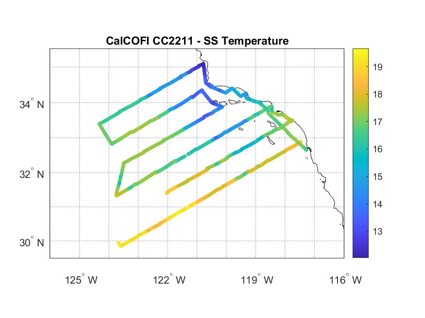
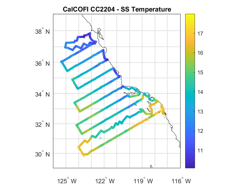
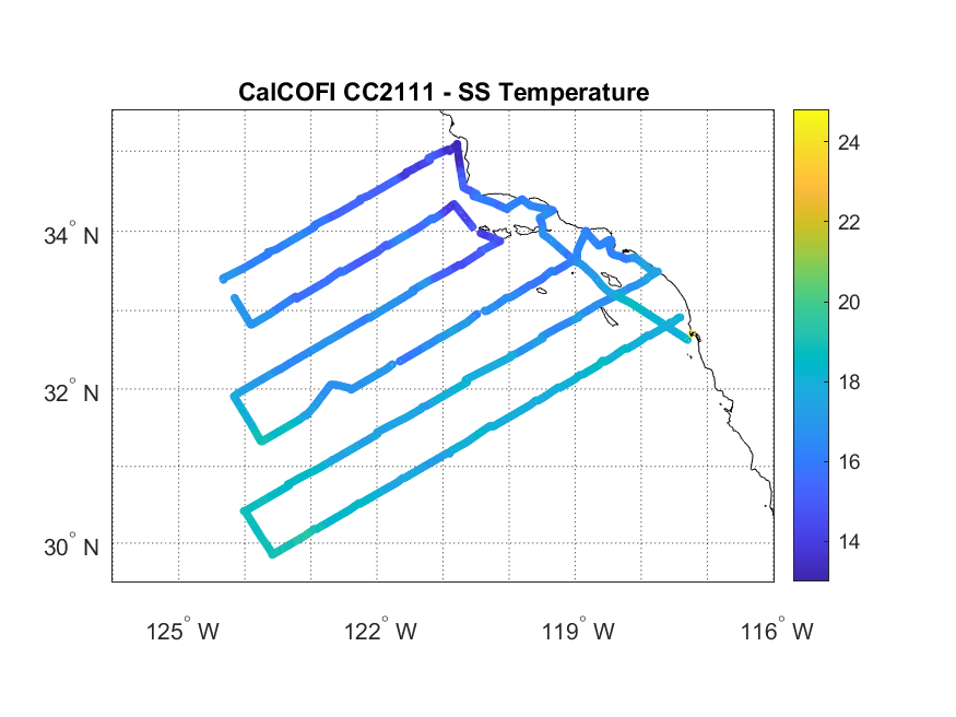
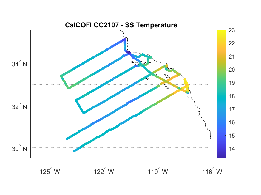
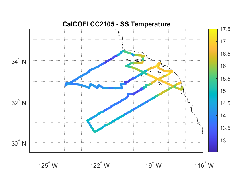
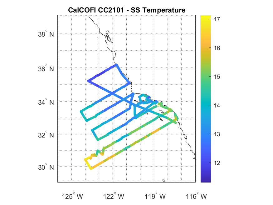
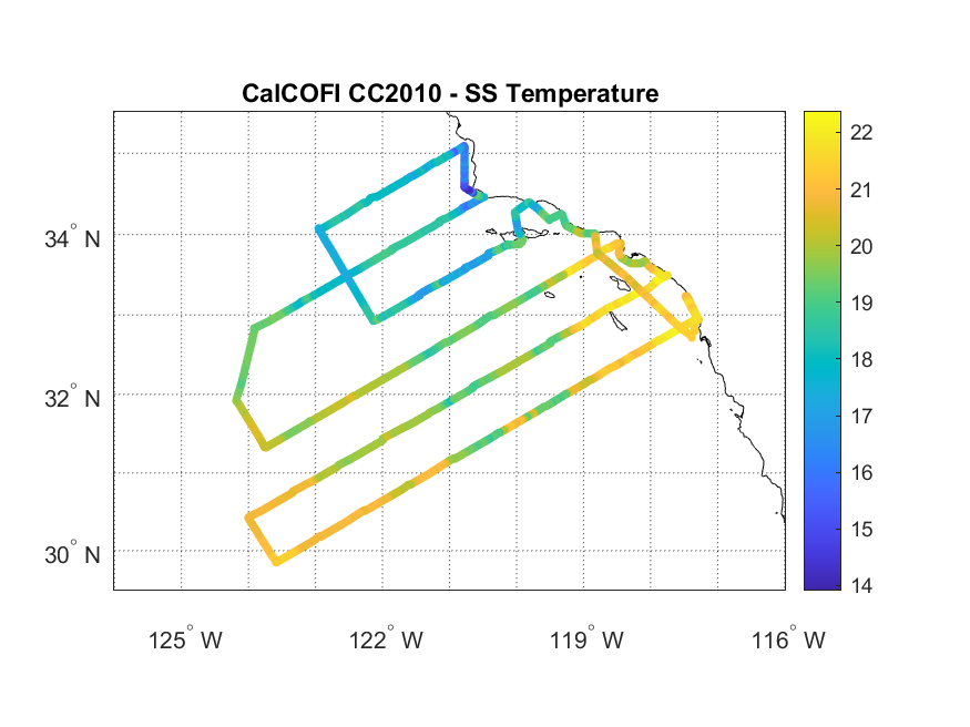
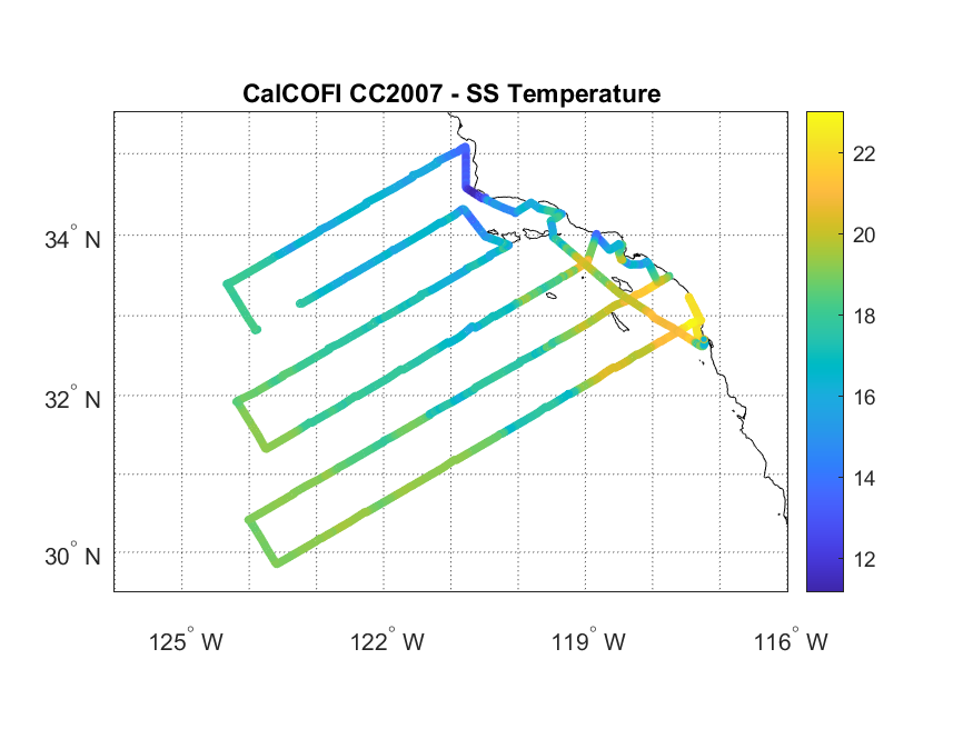
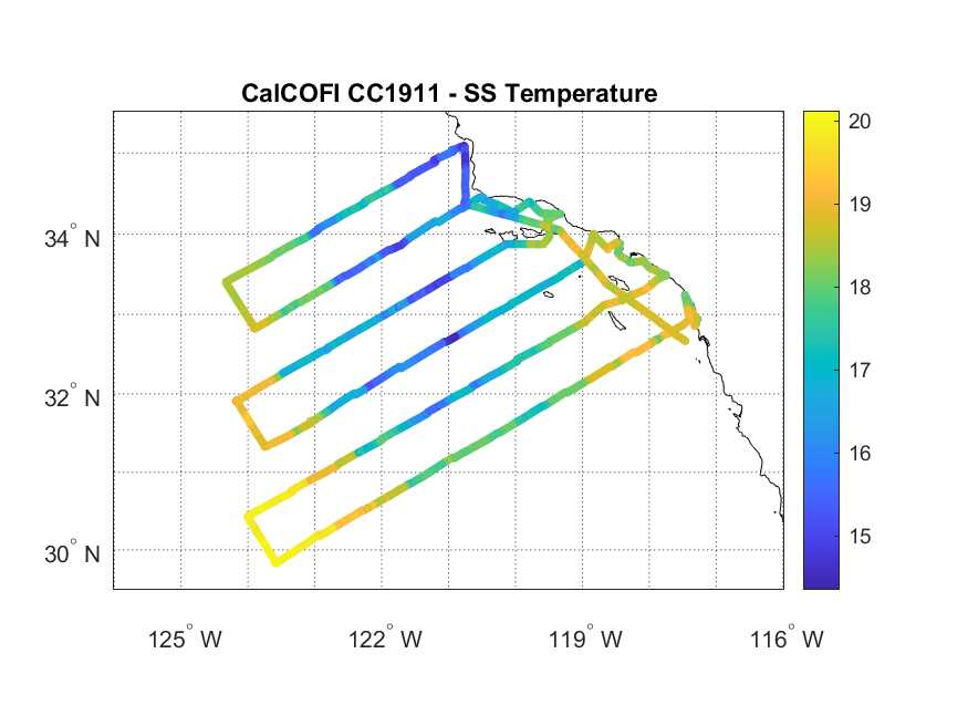
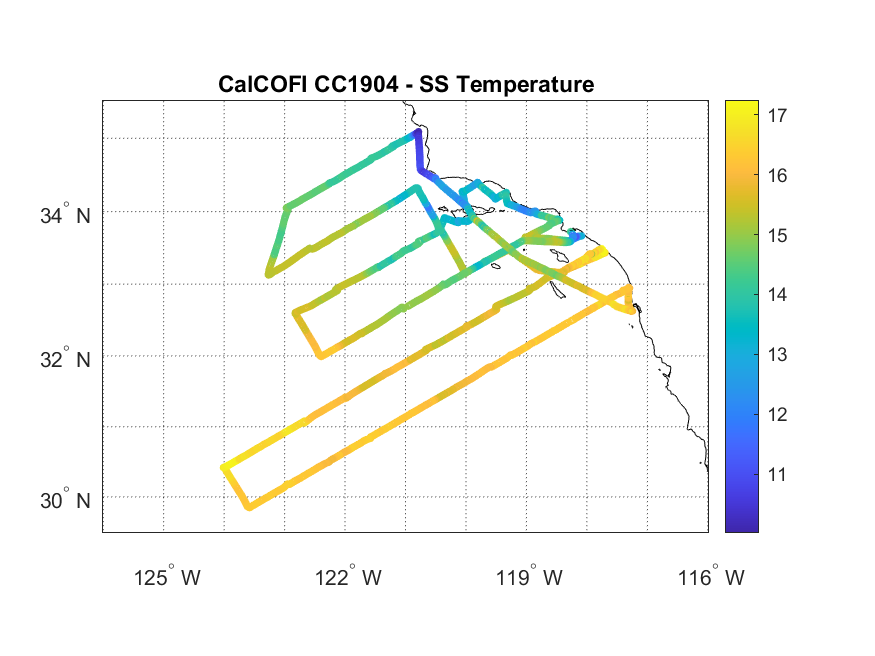
Temperature Cruise Path
Not Available For This Cruise
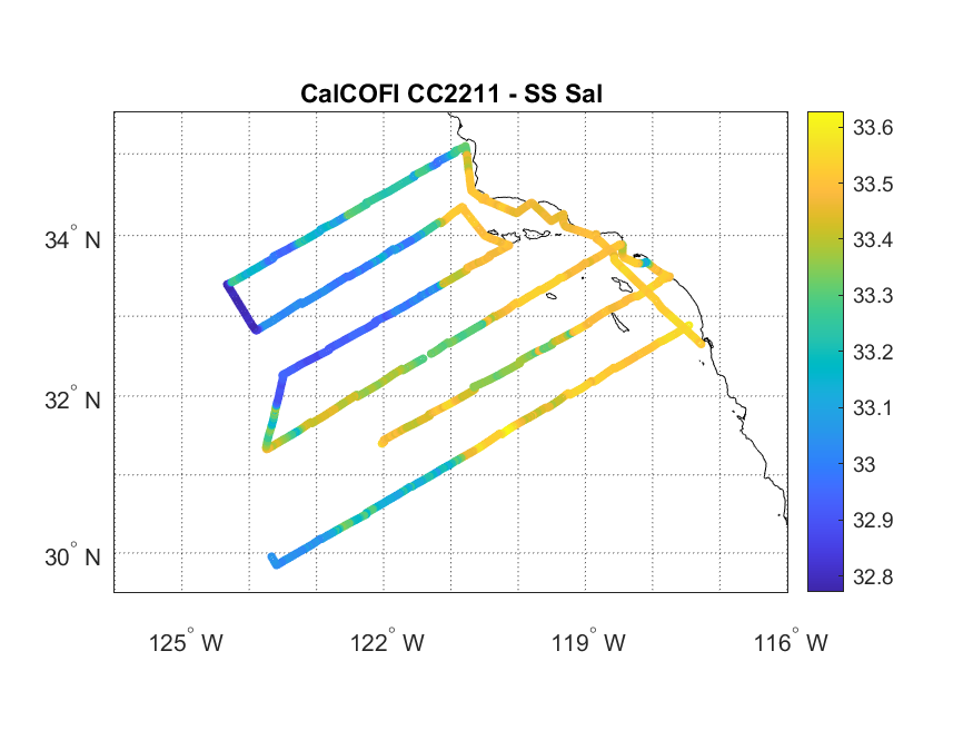
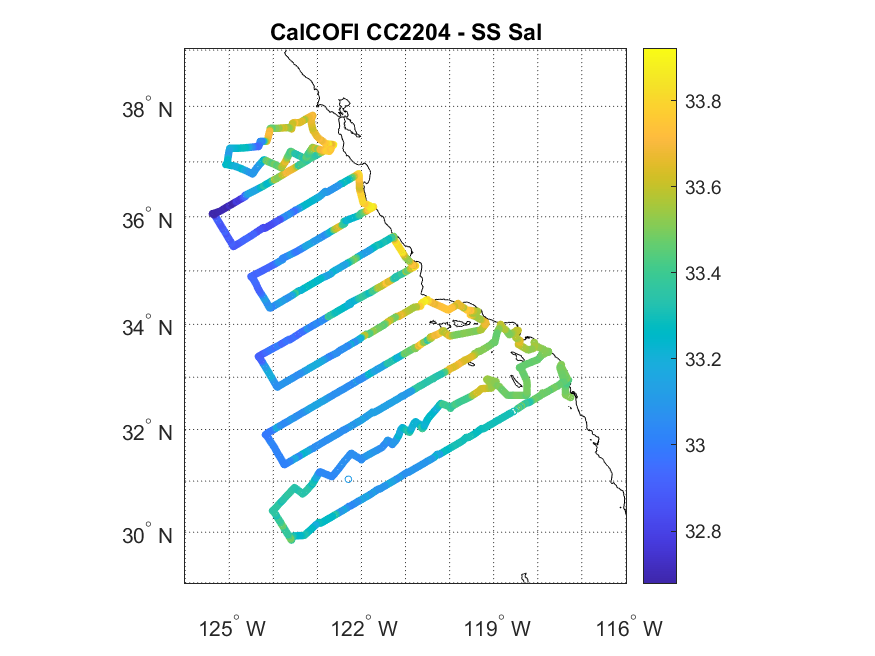
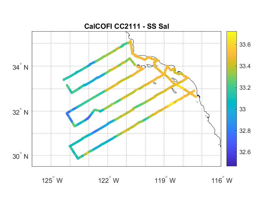
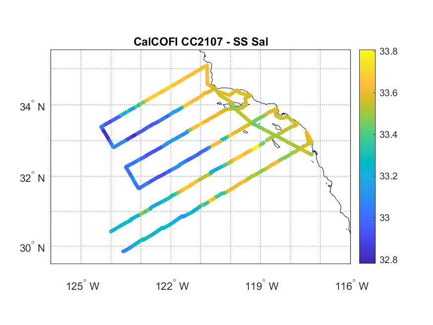
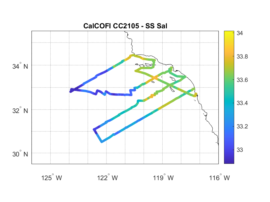
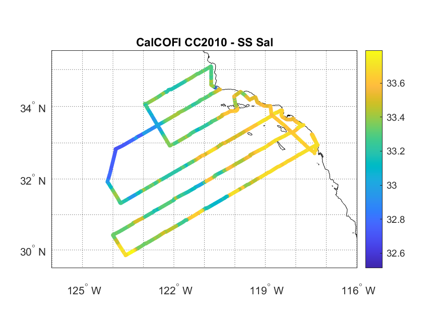
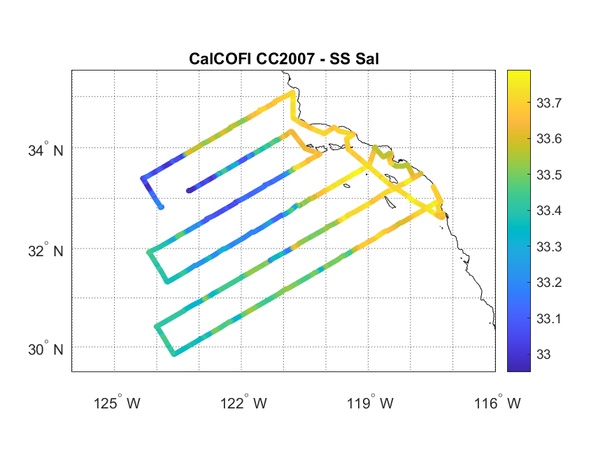
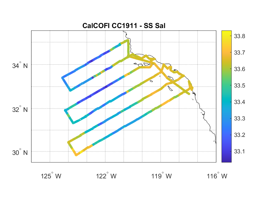
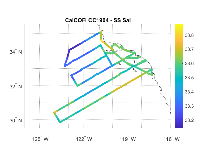
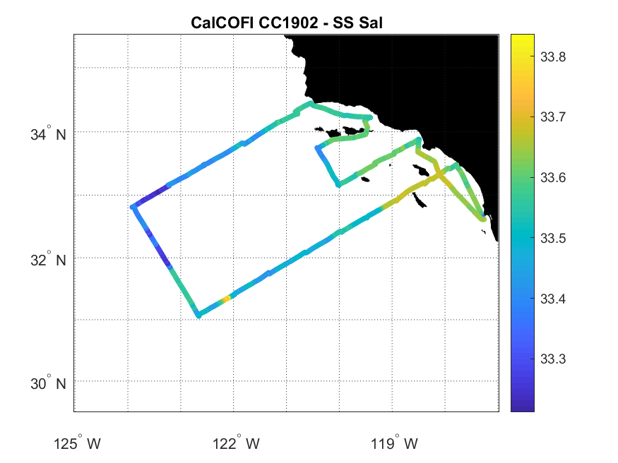
Salinity Cruise Path
Not Available For This Cruise
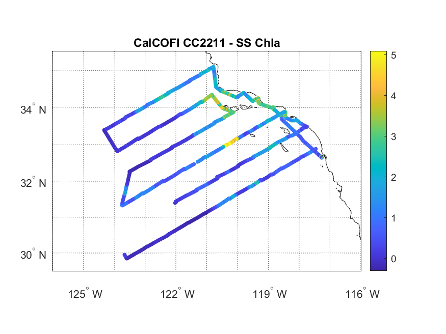
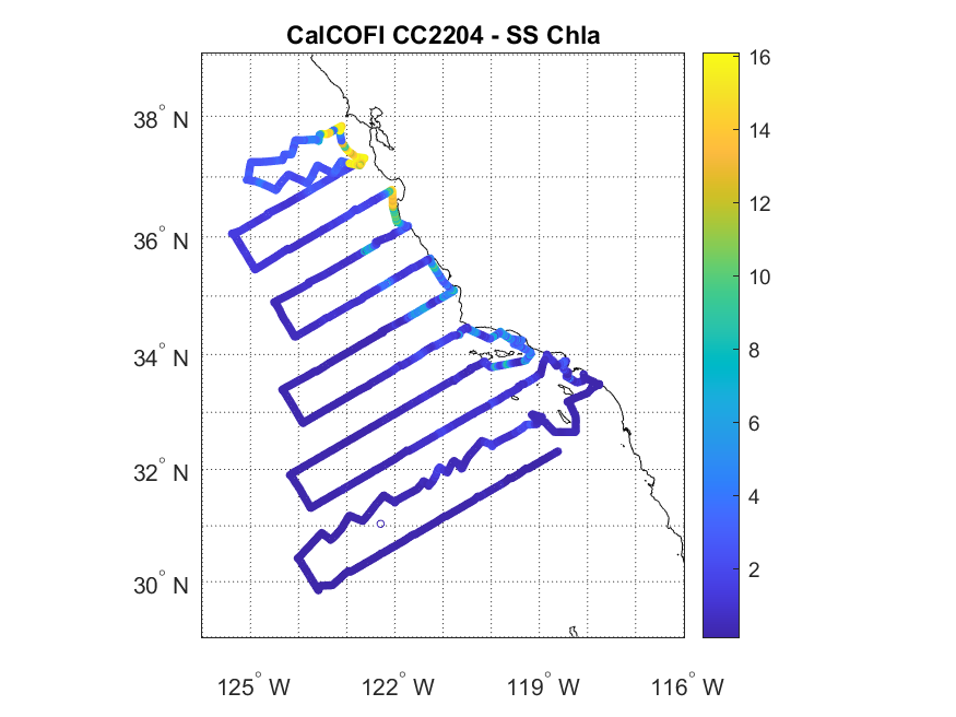
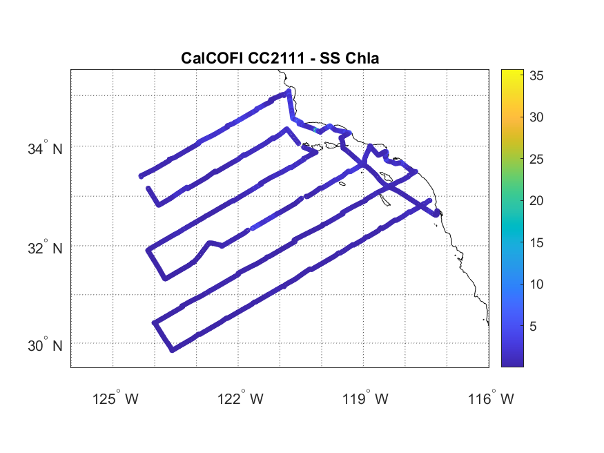
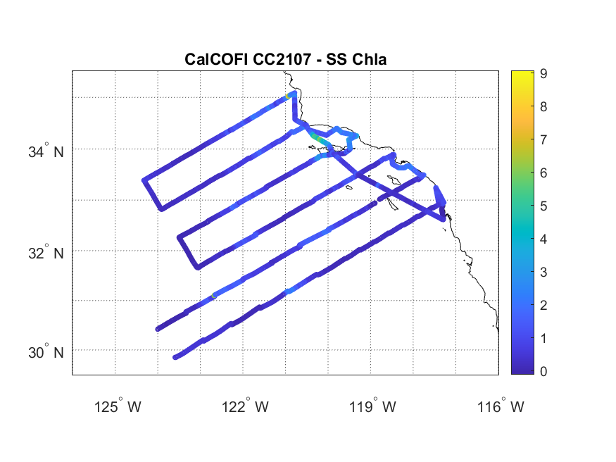
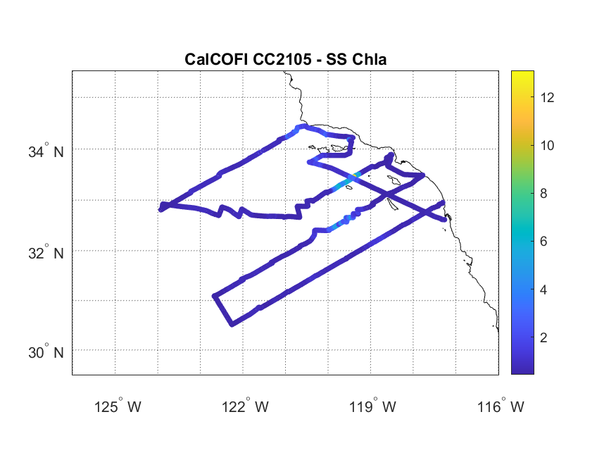
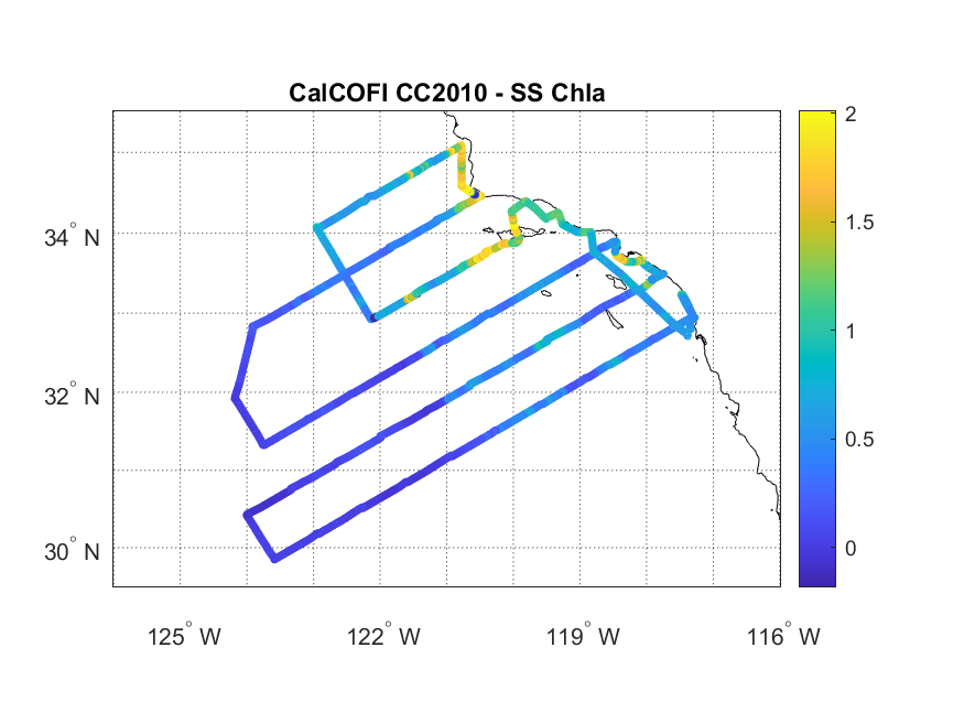
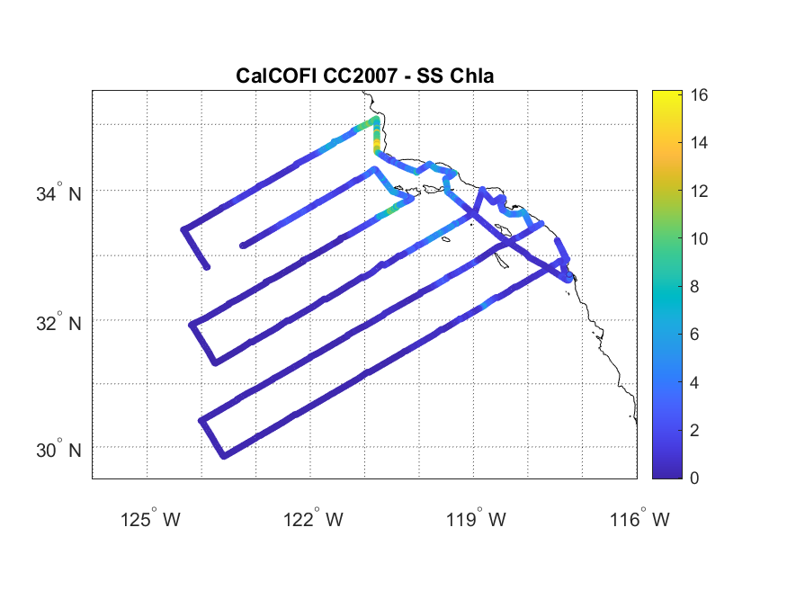
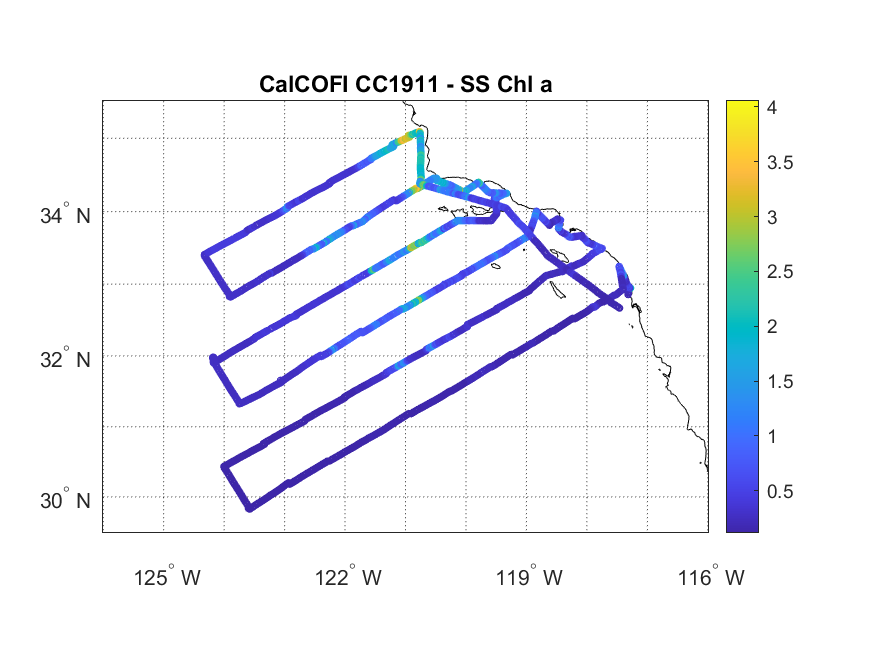
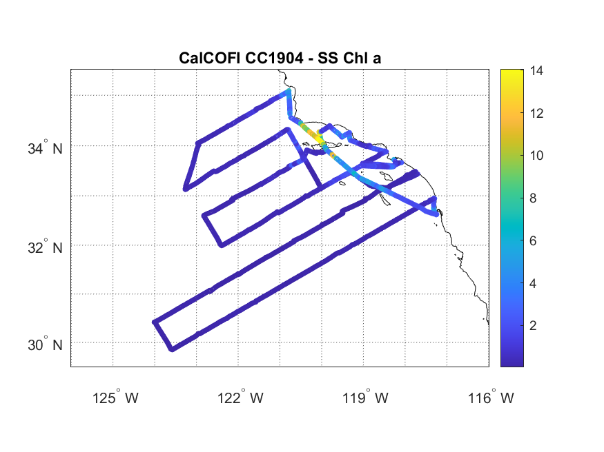
Chlorophyll Cruise Path
Not Available For This Cruise
2021
2020
Chlorophyll Cruise Path
Not Available For This Cruise
2019
Chlorophyll Cruise Path
Not Available For This Cruise
